

The recent crimes and concerns in our area are not going unheard, however resources are limited.
We can do more if we all come together!
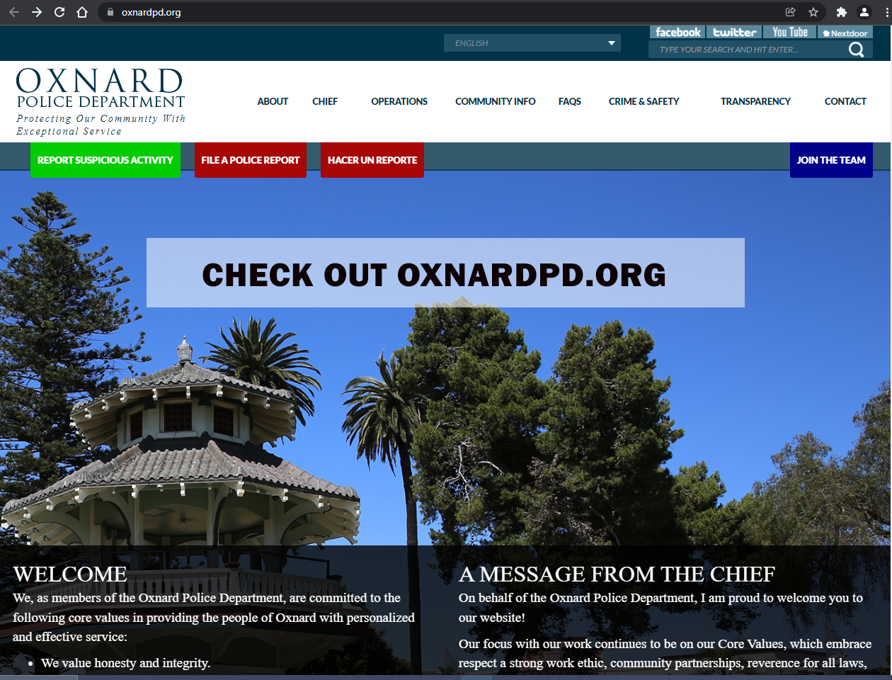
Click her for Oxnard PD Website for most up to date information.
Our NEW Neighborhood PD connection:
West District , Beat 21
CPL. Hugo Garcia
Email hugo.garcia@oxnardpd.org
If you should see any suspicious activity or fall victim to any crime, please report the incident to the Oxnard Police Department. If you were able to secure security video footage, please also share the footage with the Oxnard Police Dept.
- For emergencies please contact 911
- For non-emergencies you may contact the Oxnard PD @ 805-385-7740
- To file a police report: CLICK HERE
- We suggest you introduce yourselves to your neighbors next door, across the street and across the channel.
- Share contact information and pledge to look out for each other.
- If you should see a garage door open at unexpected times, or see any suspicious activity please notify your neighbors.
- Make arrangements to pick up each other’s packages when you’re away
Just a Reminder
- Please keep doors and windows locked
- Please keep cars locked
- Please don’t leave valuables in your car
- Please don’t leave garage doors open
And
If You See Something, Say Something !
Oxnard Police Department has a Website with
Resources for Your Safety

Oxnard Police Department
OXNARD POLICE DEPARTMENT
251 South ‘C’ Street
Oxnard, CA 93030
(805) 385-7600
EMERGENCY NUMBERS
9-1-1 or 1-805-486-1663
DISPATCH NON-EMERGENCY
1-805-385-7740
Our NEW Neighborhood PD connection:
West District , Beat 21
CPL. Hugo Garcia
Email hugo.garcia@oxnardpd.org
If you should see any suspicious activity or fall victim to any crime, please report the incident to the Oxnard Police Department. If you were able to secure security video footage, please also share the footage with the Oxnard Police Dept.
- For emergencies please contact 911
- For non-emergencies you may contact the Oxnard PD @ 805-385-7740
- To file a police report: CLICK HERE
Oxnard PD
Community Crime Map can be found at https://www.oxnard.gov/police-department/crime-safety/community-crime-map
Click for instructions on using Community Crime Map [PDF]
LexisNexis® Community Crime Map connects law enforcement with the community to reduce crime and improve public safety. Crime mapping helps the public get a better idea of the crime activity in their area so they can make more informed decisions about how to stay safe. Community Crime Map goes beyond crime mapping by automatically alerting the public about recent crime activity and by improving communication between the public and law enforcement through anonymous tips.
The markers representing incident locations on the map indicate approximate locations, typically rounded to the nearest block. The data displayed on this map is based on preliminary information, and is subject to change at any time. This data is intended as general crime information, and is produced for the purpose of public awareness. No warranty or guarantee is made or implied regarding the content, geographic accuracy, timeliness, or completeness of the data.
EYES ON CRIME - SURVEILLANCE SYSTEM REGISTRATION
 Register your surveillance system with the Oxnard Police Department. Oxnard Police Department personnel will contact you to process the registration. [Click Here to Register]
Viewing the Call log and arrest log links above is interesting.
Police Department Contact Info
- Phone Number (805) 385-7600
- Street Address:
251 South ‘C’ Street
Oxnard, CA 93030
Additional Information:
- Emergency: 9-1-1
- Non-emergency: (805) 385-7740
- Watch Commander: a title=”Call Watch Commander: href=”tel:8053857746> (805) 385-7746
OXNARD PD RESOURCES:
CRIME PREVENTION FLYERS
Personal Safety
Prevention
Business: