Maintenance Assessment Districts
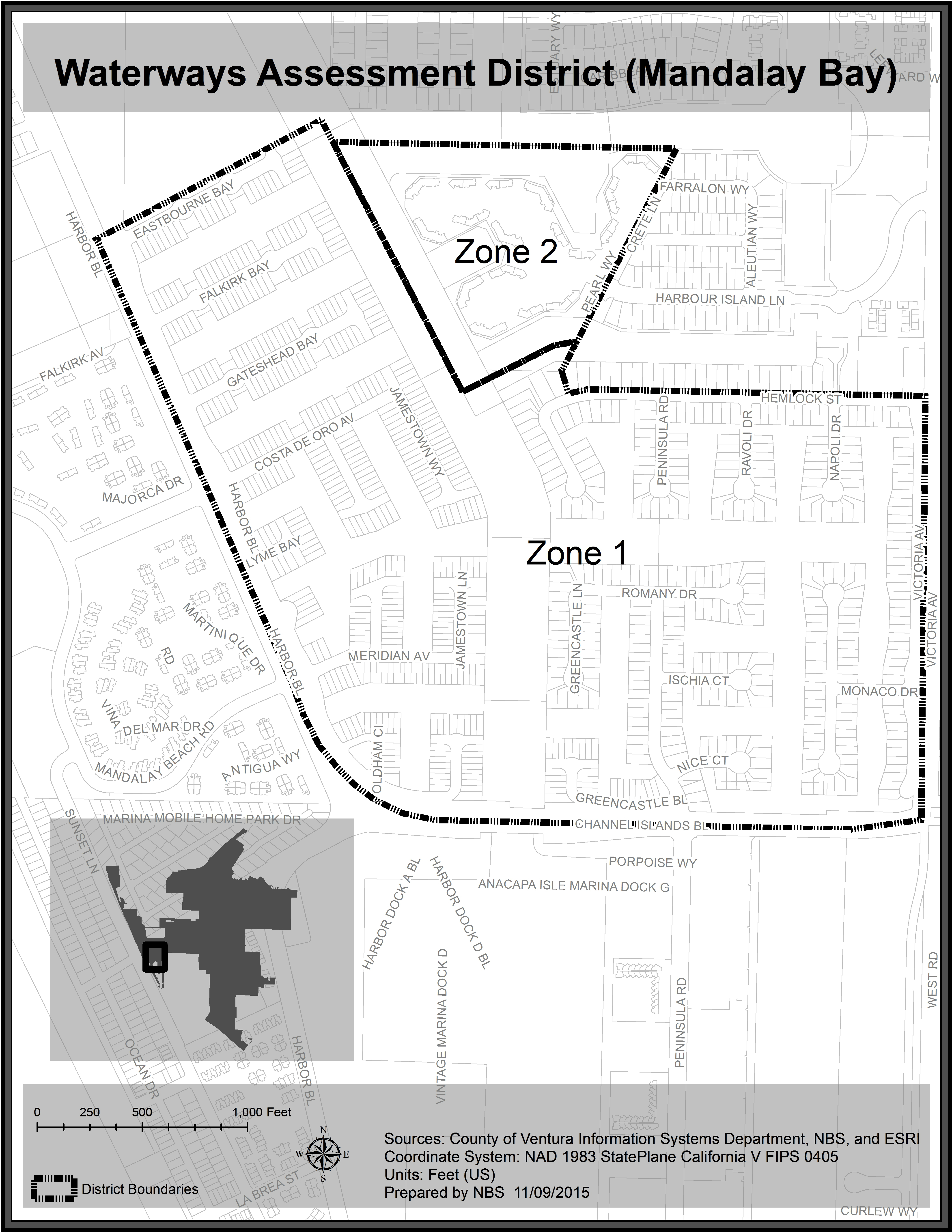
Our boundry map is included below – we are referenced as: Waterways Assessment District (Mandalay Bay)
From the City of Oxnard
http://finance.oxnardcpio.org/8/118
The City of Oxnard (the “City”) has used Maintenance Assessment Districts (“Districts”) since the 1980’s to finance the installation and annual maintenance of public landscaping, lighting, sidewalks, curbs, gutters, parks and recreational facilities.
The Districts are levied annual assessments to pay for the improvements and services authorized and identified in the Engineer’s Reports. The annual assessment levied on properties within the boundaries of each District is based on the method of assessment (rates) identified in each Engineer’s Report. Annual assessments are included in the Ventura County secured property tax bill.
The City will be providing periodic messages and information on this webpage to keep the public and the property owners informed on matters related to the Districts. Please bookmark and visit this webpage for the latest update.
A general Story Map has been prepared to provide a brief overview of the Districts.
Please click here to view the Story Map.
Boundary Maps
Fiscal Year 2015/16 Boundary Maps: http://finance.cityofoxnard.org/8/118/1231
original image:
Image on Oxnard Site:Waterways Assessment District (Mandalay Bay)

